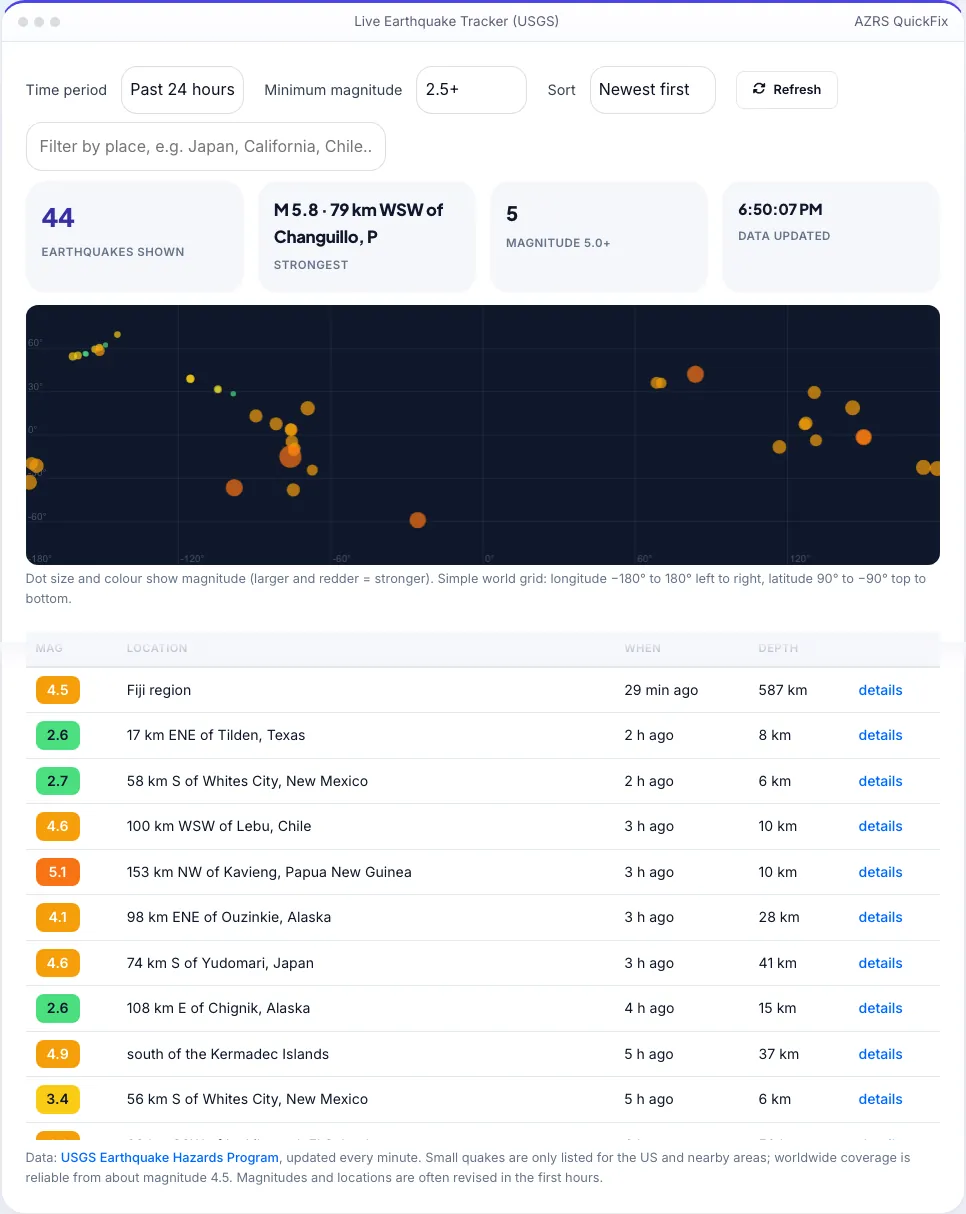
Live Earthquake Tracker (USGS)
See recent earthquakes worldwide on a live map and list, straight from the USGS.
| Mag | Location | When | Depth |
|---|
More free tools
See Live Earthquake Tracker (USGS) in action
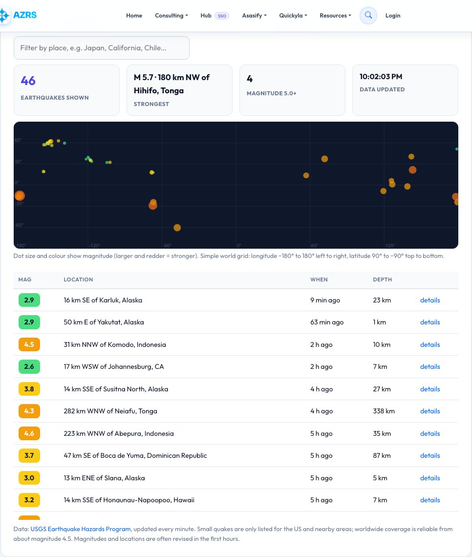
Live Earthquake Tracker — Recent Earthquakes Worldwide from the USGS
See which earthquakes have just happened anywhere on Earth. This tracker reads the live feed from the United States Geological Survey (USGS), updated every minute, and lists every quake with its magnitude, location, time, depth and a link to the official event page. A colour-coded world plot shows where they struck: bigger and redder dots mean stronger earthquakes.
Choose the past hour, 24 hours, 7 days or 30 days, filter by minimum magnitude from everything to major 6.0+ quakes, sort by newest or strongest, and search by place — for example Japan, Chile or California. A tsunami marker appears when the USGS reports a tsunami message. The page refreshes itself, so you can leave it open to follow an ongoing sequence.
Use it in 4 steps
Pick a time period and a minimum magnitude.
Scan the list and the world plot.
Type a country or region to filter.
Click details for the official USGS page.
Key features
Live USGS data
Updated every minute from the official feed.
Time and magnitude filters
Past hour to 30 days; all quakes to 6.0+.
Coloured world plot
Dot size and colour show magnitude.
Search and sort
By place, newest first or strongest first.
A real example, step by step
M 6.1 — 84 km SE of Hachinohe, Japan · 42 min ago · depth 32 km → details on the USGS page.
Who uses this tool
Residents of quake-prone areas
Check what that rumble was.
Students and teachers
Explore real seismic data.
Travellers and journalists
Follow activity around the world.
Tips for the best results
- Small quakes (below 2.5) are only complete for the US; worldwide coverage is reliable from about 4.5.
- Magnitudes are often revised in the first hours.
- Shallow, strong quakes near towns are the most damaging.
- Use official alerts for safety decisions.
Common mistakes to avoid
- Treating every dot as dangerous — most are tiny.
- Comparing magnitudes without depth (deep quakes shake less).
- Relying on this page instead of official early-warning alerts.
Frequently asked questions
Where does the data come from?
From the USGS Earthquake Hazards Program's public GeoJSON feeds.
How often does it update?
The USGS updates about every minute and this page reloads every two minutes.
What do the magnitude numbers mean?
Each whole number is about 32 times more energy. Below 3 is rarely felt, 5+ can damage weak buildings, 7+ is major.
Why does a quake disappear or change?
Early automatic locations are reviewed by seismologists and can be corrected or removed.
Can it warn me?
No. It is an information page, not an early-warning system.
Is any of my data collected?
No, everything is read directly by your browser.
Free, fast and private by design
No signup, no watermark. New AZRS tools are added every week.