Giant caves beneath sinkhole reveal origin of mystery trenches that score Australia's Nullarbor Plain
Mysterious trenches stretching for miles across the vast Nullarbor Plain in Australia are the surface scars of huge ancient caves collapsing deep underground, according to new research. "They look l…
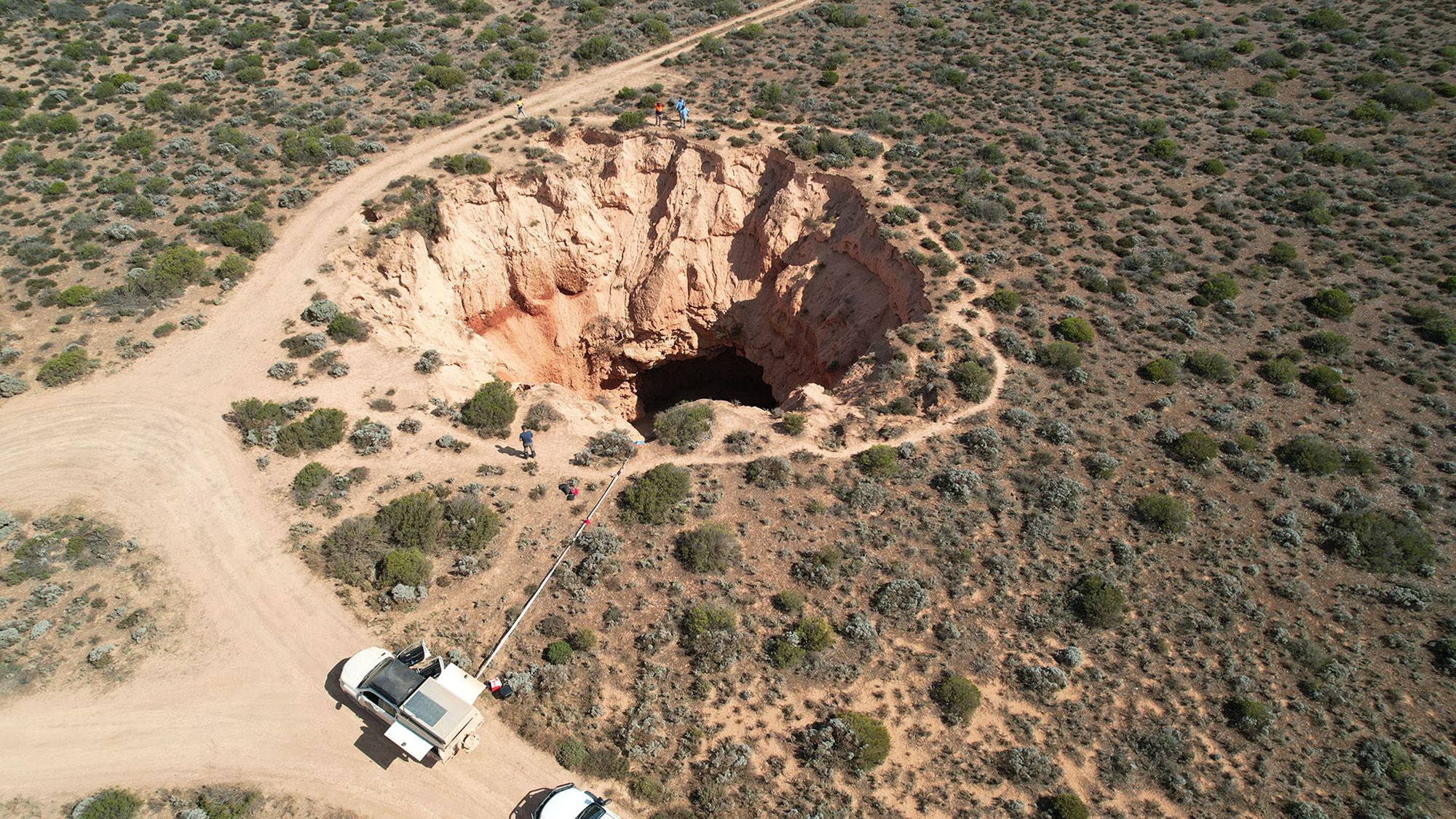
Mysterious trenches stretching for miles across the vast Nullarbor Plain in Australia are the surface scars of huge ancient caves collapsing deep underground, according to new research.
"They look like some kind of river channel, but they start and end so abruptly that it triggered us to investigate them," Matej Lipar , a researcher at the Anton Melik Geographical Institute in Slovenia and first author of the study, told Live Science.
The Nullarbor Plain is an arid, flat, almost-treeless expanse in southern Australia. Nestled between the Great Victoria Desert and the Great Australian Bight coast, it has existed for more than 14 million years. Along the eastern edge of the Nullarbor Plain are five long trenches with similar north-to-south orientations. They range from several miles to more than 12 miles (20 kilometers) long, span 330 to 1,640 feet (100 to 500 meters) wide and extend between 3 and 30 feet (1 to 9m) deep.
Despite their large size, the trenches aren't always easy to spot. "You don't really notice them when you are on the Nullarboor because they are really flat," Lipar said.
How the trenches formed wasn't clear. There is no evidence that they were created by the wind, Lipar noted. And it's.unlikely that they were carved out by flowing water, because unlike typical valleys, the trenches don't have connected streams or other signs that water once flowed through them, Lipar explained.
To investigate the mysterious trenches' origin, Lipar and his colleagues ran exaggerated digital models of the terrain to make the trenches easier to see and identify where the team needed to focus. Then, they used an imaging technique called electrical resistivity tomography — which measures how electrical currents flow through the ground — to distinguish rock from sediment.
The results revealed that the trenches were dips at the top of what seemed almost like canyons stretching down more than 130 feet (40 m) below the surface. They were filled with sediment, with sand dominating the upper layers and higher proportions of fine particles of silt and clay below that.
Get the world’s most fascinating discoveries delivered straight to your inbox.
Read Full Story at Live Science →