Copernicus Browser launches real-time wildfire tracking
Europe’s free Copernicus Browser now tracks wildfires in near real-time using Sentinel satellites, helping responders act faster than ever. This tool, available to anyone, improves fire response and …
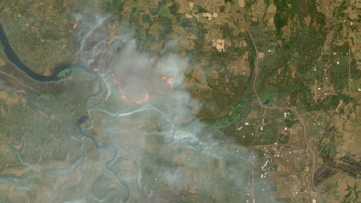
Europe’s free satellite service has just added wildfire tracking to its toolkit, letting anyone with a browser spot burning forests in near real time.
The upgrade to Copernicus Browser comes as the EU’s emergency response arm reports that last year’s wildfire season burned more than four million hectares across the continent—an area larger than Switzerland. The service, run by the European Union’s Earth observation program, already tracks floods, droughts and air pollution. Adding fire data lets firefighters, local governments and researchers see heat spots within hours, not days, by combining infrared sensors on Sentinel-3 satellites with high-resolution images from Sentinel-2. The move follows repeated calls from Mediterranean countries for faster, sharper tools to fight fires that have grown bigger and faster because of climate change.
Users can now overlay active fire detections on top of land cover maps, see burn scars in color, and download the data for free. During this summer’s early fires in Greece and Portugal, civil protection teams used the new feature to redirect water-bomber planes within minutes of satellite picks. Researchers at the European Centre for Medium-Range Weather Forecasts say the data helps them improve smoke-dispersion models that warn cities hundreds of kilometers away. The service’s servers now handle about 20,000 downloads a day, up from 5,000 before the wildfire layer was added.
The next step is sharper resolution. Later this year Copernicus plans to release fire-detection data from the new Sentinel-1 radar satellites, which can see through clouds and smoke at night. The EU is also funding a pilot program to push these alerts directly to fire trucks via mobile networks, cutting the time between detection and boots on the ground. With wildfire seasons starting earlier and ending later, the free, open-access system is becoming a vital layer in Europe’s fight against runaway flames.
Read Full Story at Ars Technica →